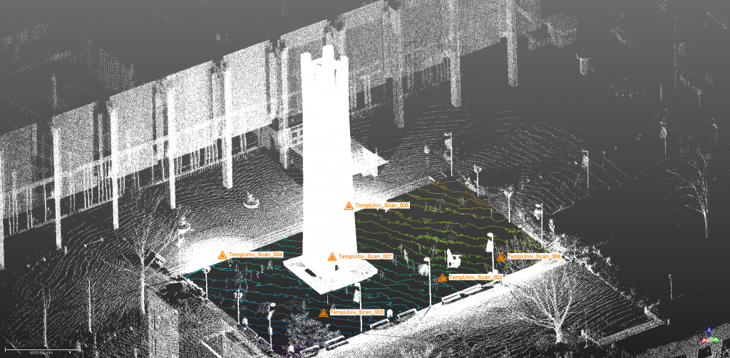
Temple has recently purchased a Trimble TX-5 terrain-based LiDAR system that collects nearly million points a second as it scans the position of nearby structures. The system will be used for mapping microtopography as part of a new million dollar EPA Star grant to study storm water management in Philadelphia.
Below is a 3D point cloud of the Temple Bell tower and surrounding area. The color contours shows the elevation controls of the brick courtyard surrounding the tower in 1-inch increments.

