By Kaelin Jewell
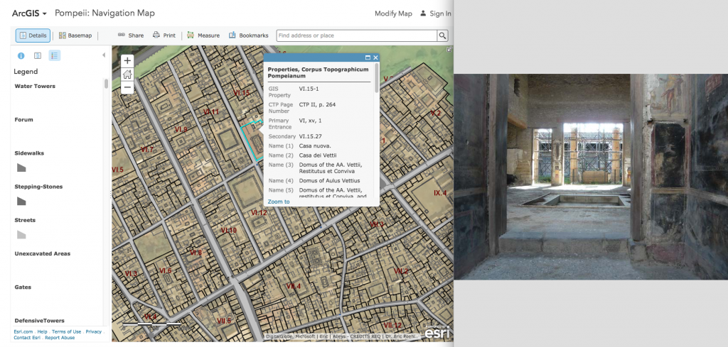
Recently, I have come across two exciting digital scholarship projects that, while temporally unrelated, both focus on the cultural heritage of the Italian peninsula. The first, Pompeii Bibliography and Mapping Project (PBMP), makes available an extensive bibliography on the archaeology of Roman Pompeii. Additionally, PBMP has created an interactive map (using ArcGIS Online) of the city and its excavations that allows users to zoom into and select specific areas to reveal associated bibliography and links to images:

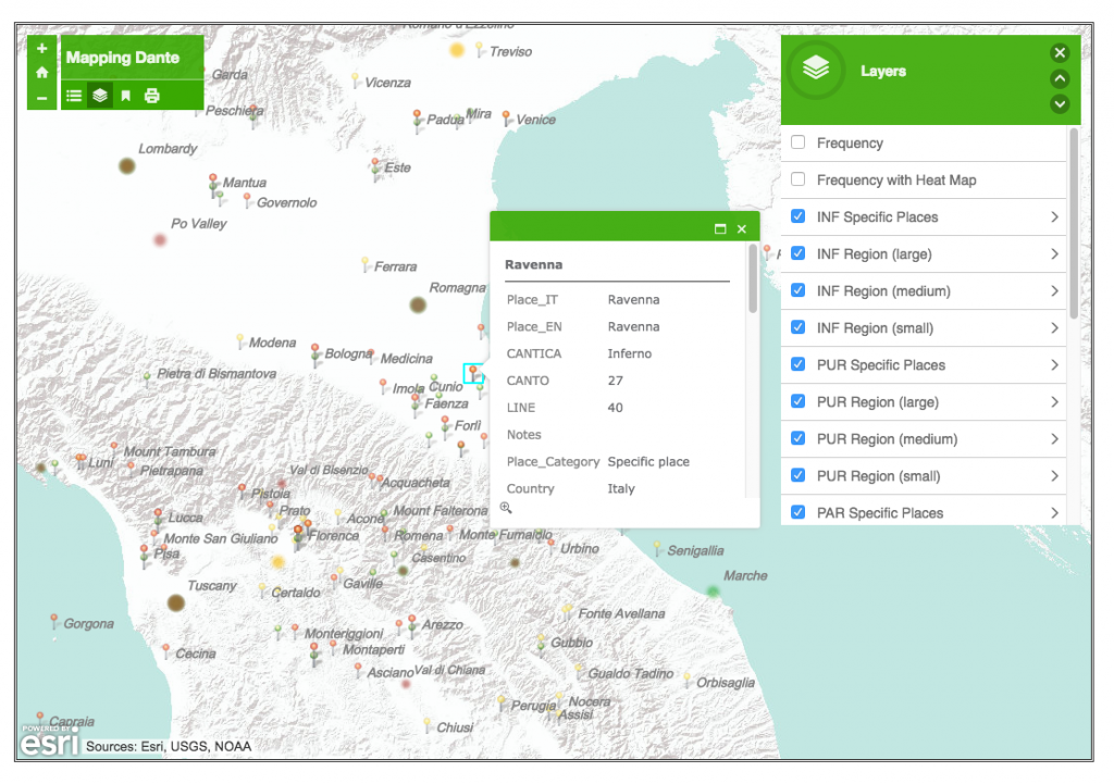
The second project, called Mapping Dante, was created by Andrea Gazzoni (Ph.D. Candidate, University of Pennsylvania) and provides an interactive map (also made with ArcGIS) of the places mentioned in Dante Alighieri’s early 14th-century narrative poem Divina Commedia:

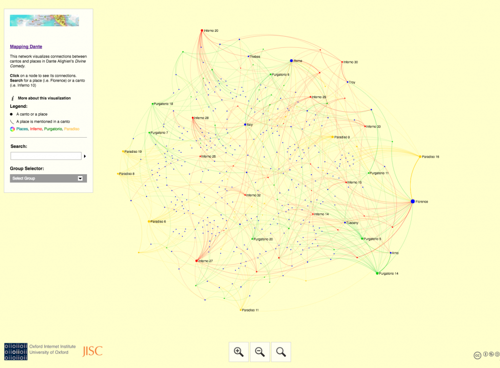
The Mapping Dante project also includes an interactive network analysis visualization (created with Gephi and Sigma JS) of the places mentioned in the Commedia:

Both of these projects demonstrate the degree to which mapping can be a helpful means of visualizing complex historical material that range from ancient archaeological material to medieval poetry. For anyone who is interested in learning more about the Mapping Dante project, network analysis, and/or creating basic historical maps, join us at the next Delaware Valley Medieval Association Winter Workshop on Saturday February 25, 2017 at Rutgers University (sign-up here).
