
Mike Alonzo of American University visited our I-95 storm basins to show Josh Caplan and me how to use photogrammetry and remote sensing to map the canopy. We collected photos at 2 second intervals along regular transects with the drone. Although we were restricted in the height we could fly, to say below the highway, we were able to get a nice point cloud and NDVI (canopy health) map of one of the basin. Mike showed us how to process the data:
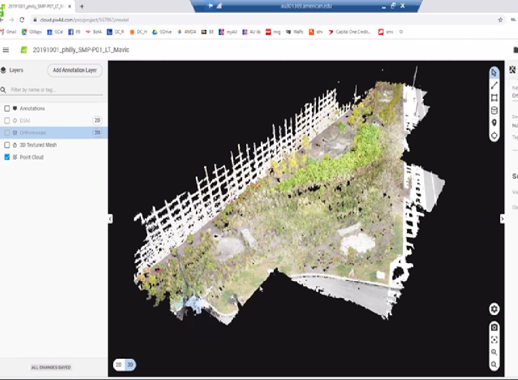
Point cloud
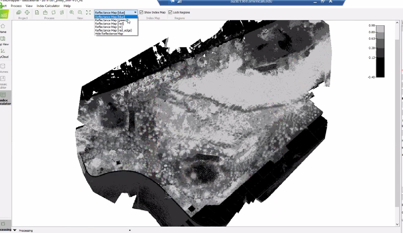
NDVI image: light areas are vegetation, dark areas concrete