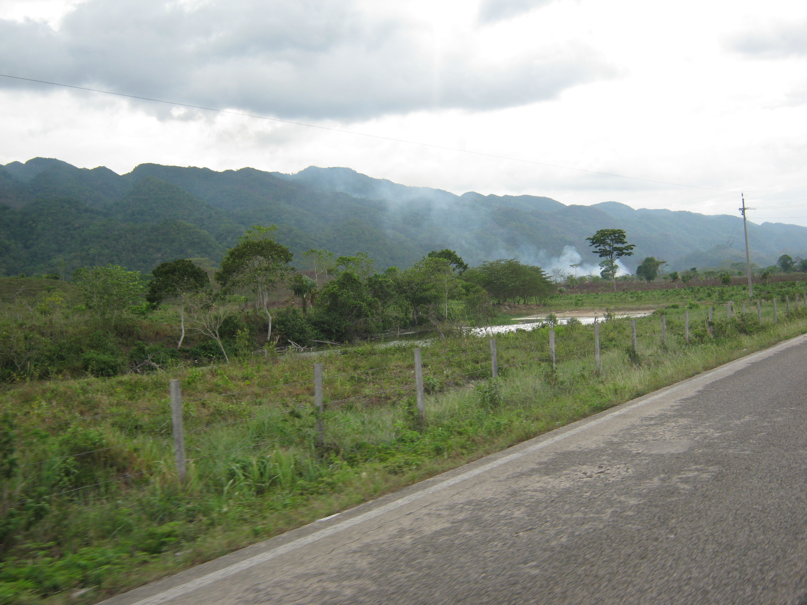
We’ve only very generally described our study region – the eastern lowlands of Chiapas, the area near the Guatemala border, etc. – and we’ve received some interesting natural history lessons by asking what people call this region. Perhaps the most common term we hear is the Selva Lacandon (the Lacandon Rainforest). However, most of the valley is cleared for cattle or agriculture, and many of the mountains are experiencing some clearing. Another term that has come up has been the Usumacinta River region, which provides a more geographically specific, yet broad term. The Usumacinta River creates the border between Mexico and Guatemala, and this region extends to the mountains to the west (pictured above).
Be First to Comment