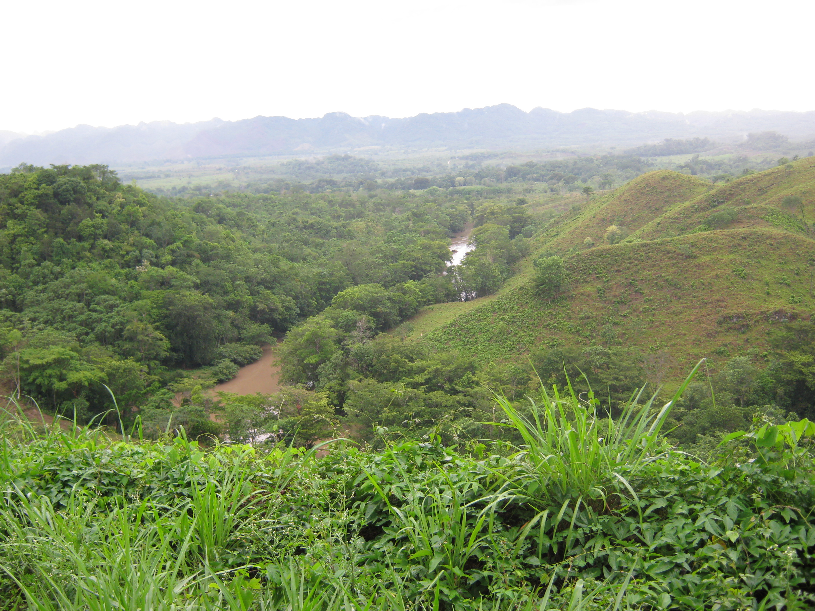
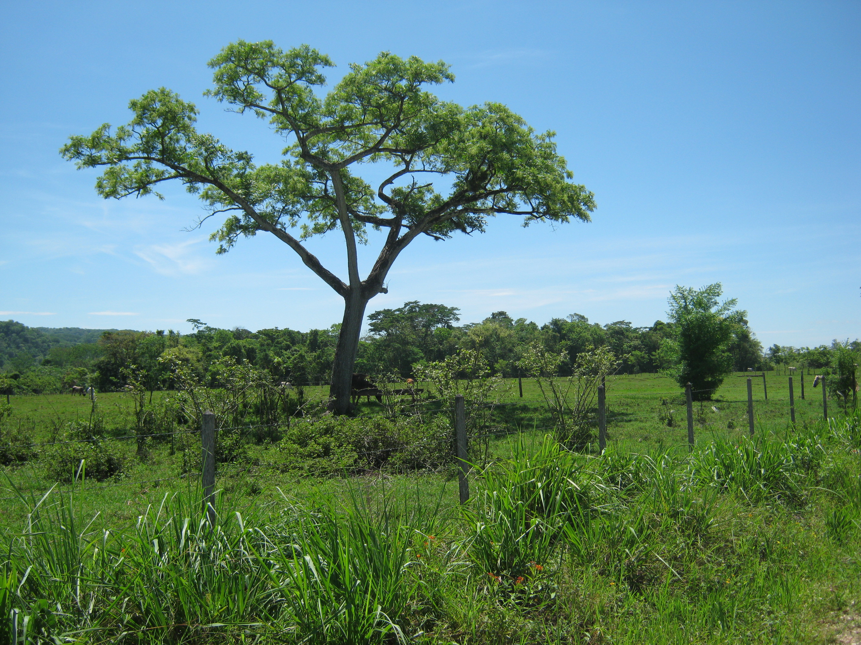
Over the last few days we’ve been conducting some interviews in various ejidos, but we’ve spent most of our time driving around documenting different types of land uses. One goal of this exercise is to better understand the different types of land use practices, but another is to be able to validate the vegetation data we extract from remotely sensed imagery. Once interesting aspect of the land use practices in this area is that they change frequently, with forests being cleared, replaced by milpa, then cattle, and perhaps a African Palm tree plantation. Each of these practices leave a different footprint on the landscape and have a different impact on vegetation vigor. The maps that we’ve generated reveal areas of change from year to year (or decade to decade), but the photos help us to understand why we are seeing those changes.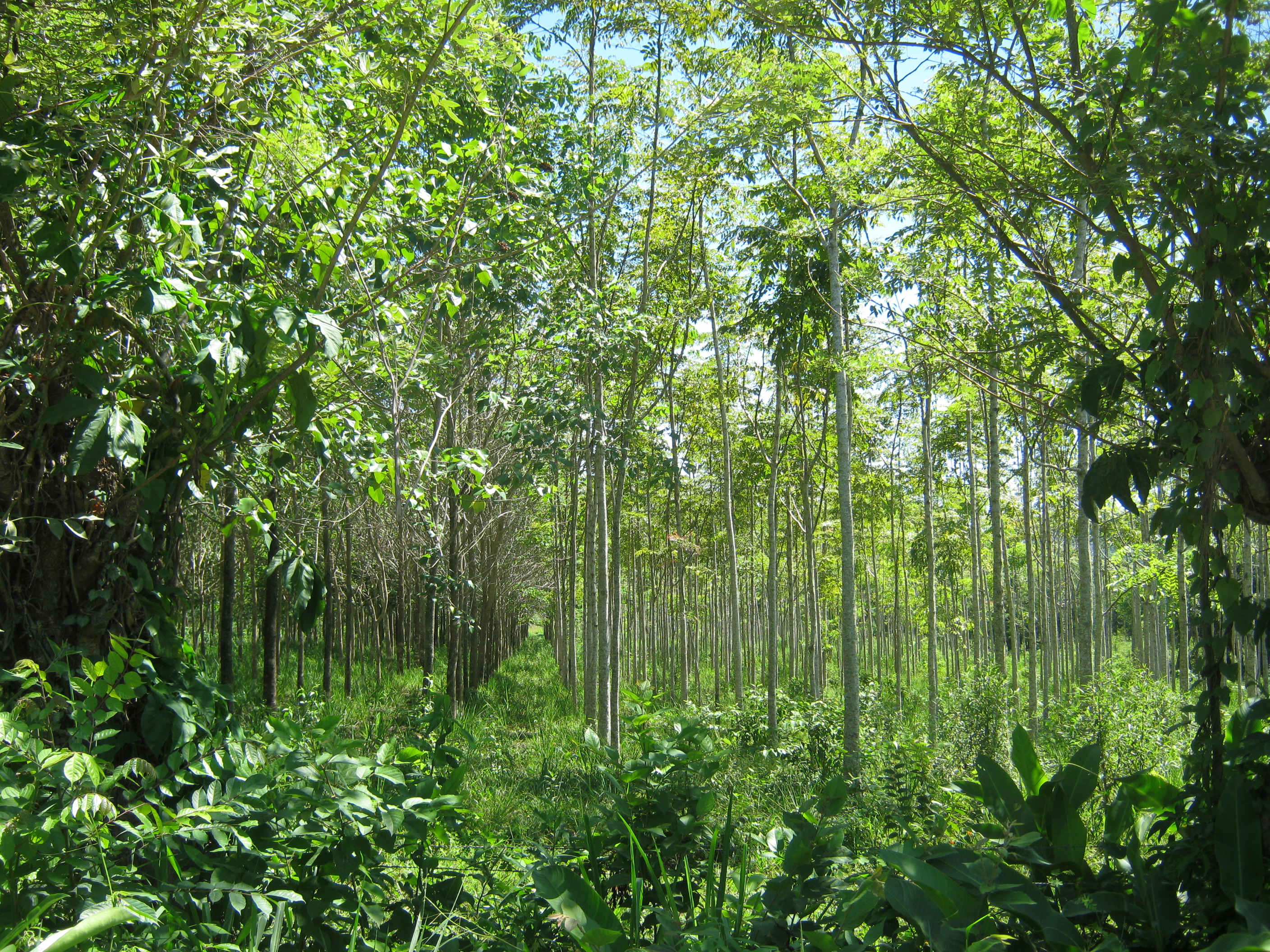
Be First to Comment