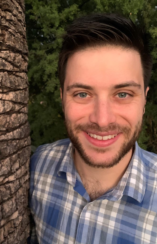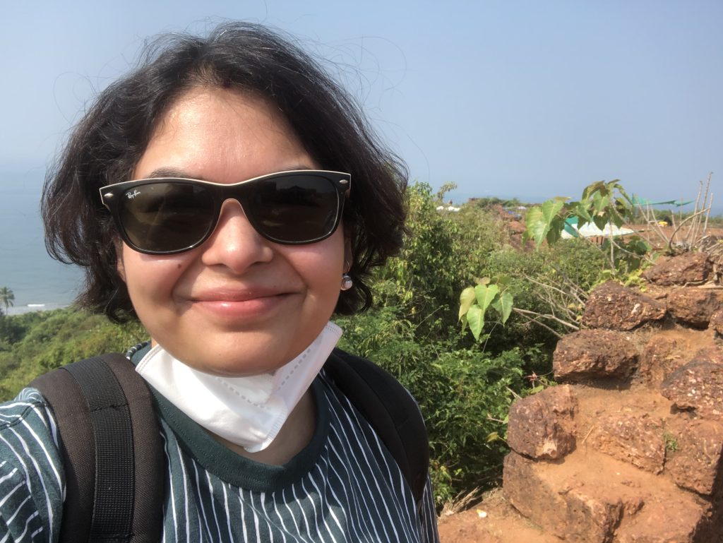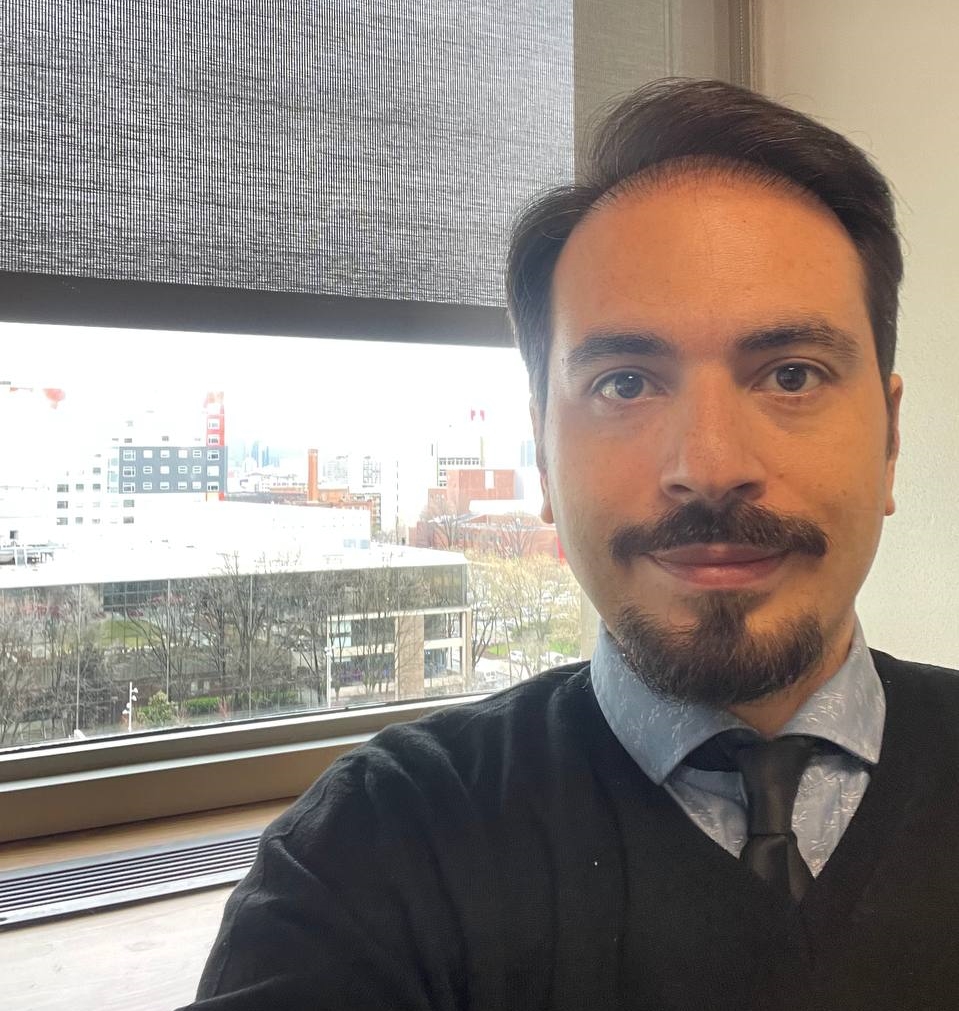
Principal Investigator (PI)
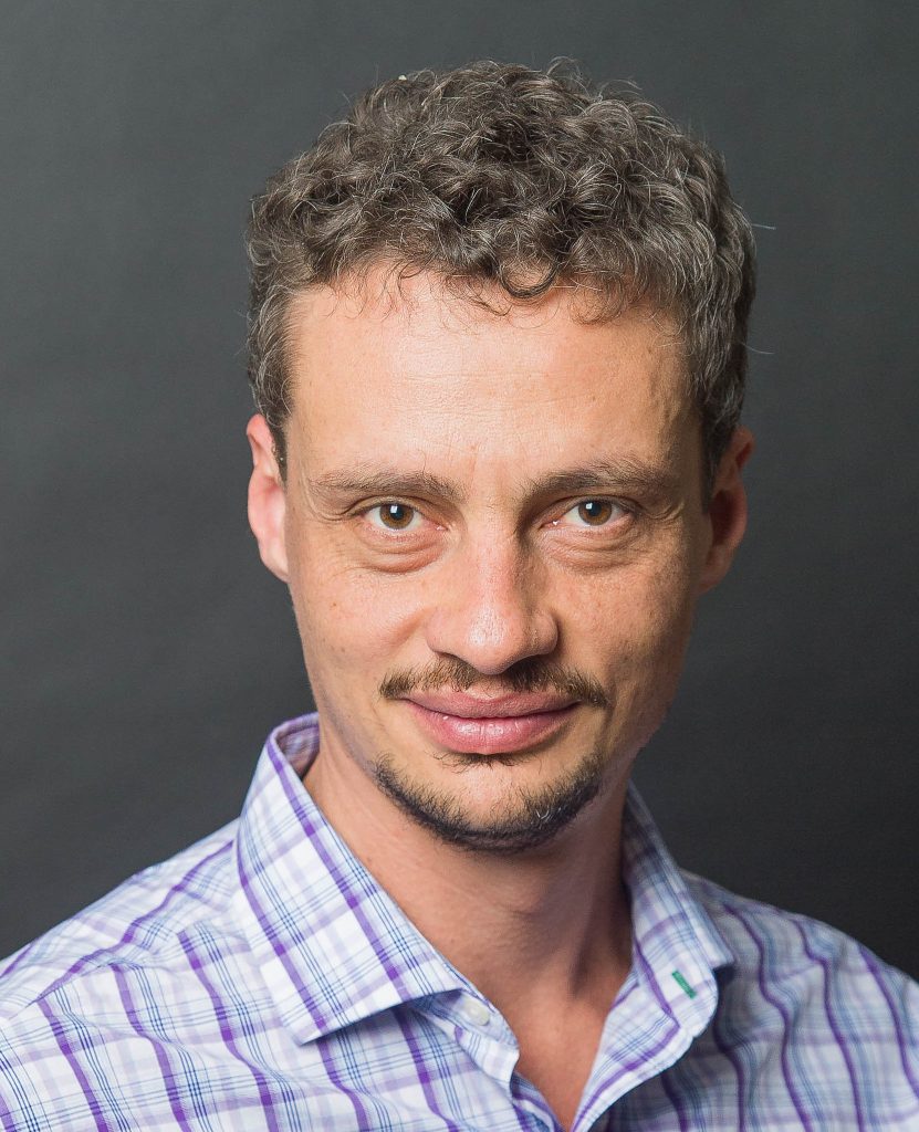
Victor Gutiérrez-Vélez
victorhugo@temple.edu
I study changes in climate conditions and human use of the land and their effects on biospheric processes that are critical to sustain humans and other forms of life on Earth. I do this through a combination of remote sensing and spatial modeling among others. With my work, I aim to produce knowledge that can help to identify avenues to ensure nature’s conservation and people’s well-being.
My research includes 1) the identification of land system change in urban and rural environments, 2) the understanding of social, climatic, and biophysical drivers of land system change, 3) the analysis of interactions between climate and land system change in relation to broader ecological and environmental processes including changes in biodiversity, the proliferation of fires and air pollution, and the spread of infectious disease vectors, and 4) the production of spatial information, infrastructure, and knowledge that inform decisions to promote ecological integrity and people’s well-being.
I have a master’s degree in Geographic Information Science from Clark University and a Ph.D. in Ecology, Evolution, and Environmental Biology from Columbia University.
GRADUATE STUDENTS
jeronimo.rodriguez@gmail.com
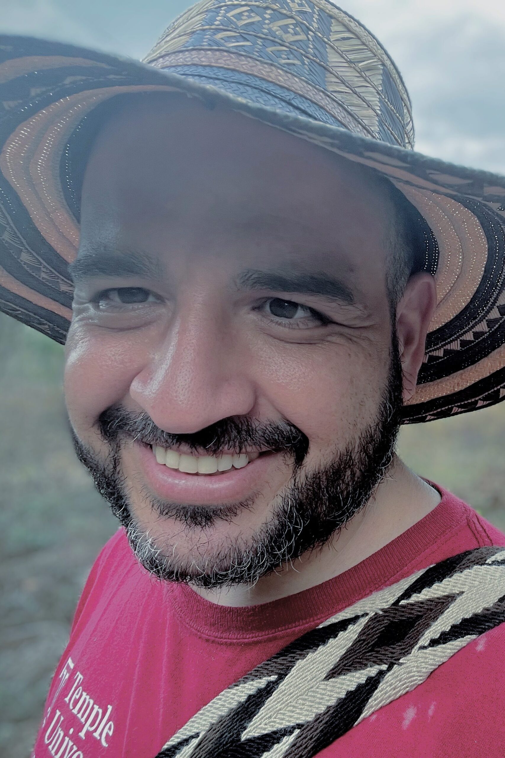
Jerónimo Rodríguez
PhD candidate and teaching assistant at the Department of Geography and Urban Studies in Temple University. In my research, I integrate earth observation, GIS and Machine Learning spatial modeling methods with quantitative and qualitative methods from the social and environmental sciences to study agricultural transformation processes in frontier regions. I apply a Land Systems Science approach to analyze the drivers, consequences, and future scenarios of land transformation, support the development of land cover monitoring solutions aimed to improve decision-making processes focused on sustainable development and biodiversity conservation.
I have advanced skills on data gathering, labeling, analysis and visualization methods, digital image recognition and mapping, web mapping and query applications, Linux server administration and cartographic production.

victoria.sarmiento@temple.edu
Victoria Sarmiento
Victoria Sarmiento is a PhD student in Geography and Urban Studies. Her research centers on Land System Science, with a keen interest in exploring the relationship between environmental change, land use, and socioeconomic dynamics. She has over a decade of professional experience in biology and wildlife management, and she is proficient in GIS and remote sensing techniques, tools essential for environmental studies. Her dissertation centers on the Caribbean region of Colombia, exploring how wetland transformations correlate with extreme weather events like floods and droughts and their subsequent impact on local communities. This study also critically examines how post-disaster policy interventions interact with land use assessing their role in either exacerbating or mitigating the challenges faced by these communities. Victoria’s work aims to contribute to the development of effective strategies that can effectively mitigate the negative consequences of environmental change, especially in areas as vulnerable as the Colombian Caribbean.

angela.mejia@temple.edu
Angela Mejía
I am a Land Systems and Landscape Ecology researcher with expertise in remote sensing, GIS, and connectivity analyses in Latin American landscapes. In my work I combine geospatial methods to understand ecosystem and biodiversity changes in landscapes, and how these transformations are interrelated with human wellbeing. I also have experience in the formulation and development of wildlife conservation and management projects, focused on connectivity and conservation within fragmented landscapes. Currently my dissertation is focused on evaluating the contributions of different management categories of protected areas and collective territories to ecosystem preservation and functional connectivity maintenance. In addition, understanding the human wellbeing factors associated with these contributions.
I am master in Ecology and Conservation from Instituto de Ecología A.C., Mexico, and I earned my bachelor’s in Biology in Universidad del Quindío, Colombia. Aside from my work, my hobby focuses on describing wildlife characteristics through scientific illustration.
sara.grisales.vargas@temple.edu
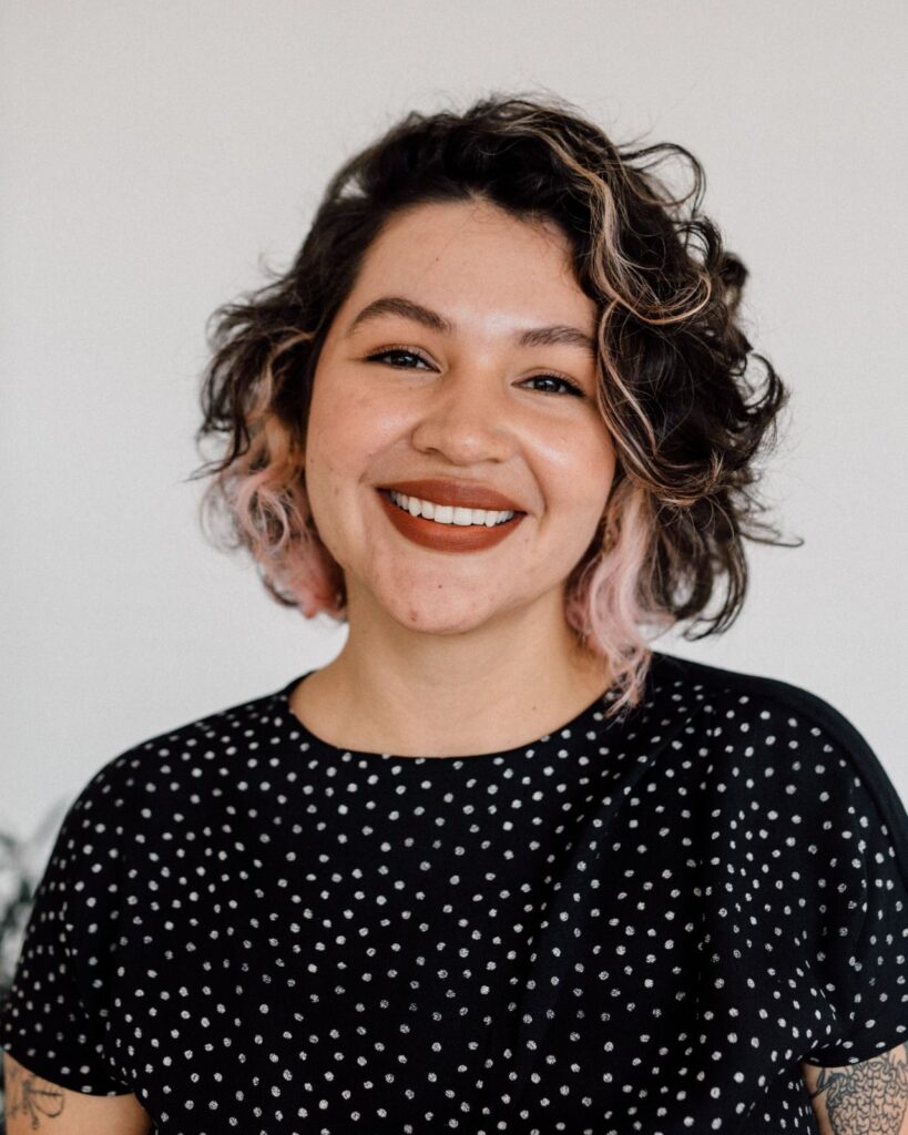
Sara Grisales
I am an Environmental Engineer with a Master of Science in Environmental Engineering from the Universidad de Antioquia, Colombia. My research has focused on evaluating the spatiotemporal variation of particulate matter (PM2.5 levels) and other pollutants through the development of land use regression models for different cities in Colombia, adding to the groundwork for understanding urban air pollution dynamics and health effects exposure to air pollution.
My expertise spans from research to data analysis, spatial science, and emissions modeling targeted to evaluate impacts of air pollution on public health and climate change, evident in my contributions to the implementation of the National Strategy for Short-Lived Climate Pollutants (SLCP) of Colombia and the inclusion of SLCPs in relevant planning processes, such as the Nationally Determined Contribution for the Paris Agreement and the National Air Quality Strategy of Colombia.
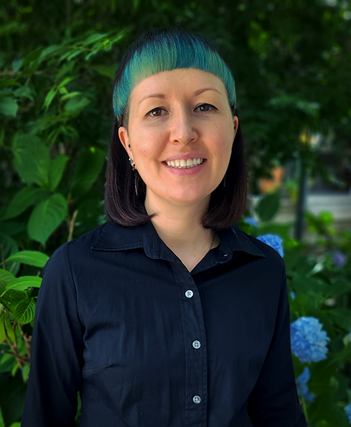
elizabeth.newnam@temple.edu
El Newnam
I am a Geography and Urban Studies PhD student researching human-nature relationships in the urban setting. I focus on thermal comfort, or the way individuals experience heat due to climatic conditions and other environmental factors. In my work, I seek to understand the relationship between the morphological structure of the city and the urban heat island.
My areas of espertise include python programming for geographic analysis, big data analysis, GIS, remote sensing, javascript-based web mapping, and cartography. I also enjoy designing websites.
FORMER MEMBERS
Lab Alumni
