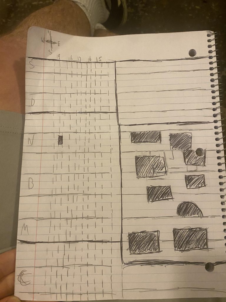
My City Map is a hand-drawn, scaled down version of Temple University and its off campus housing. Running side to side on the map in solid lines are the named streets of Temple University. Running up and down in dotted lines on the left side of the map are the numbered streets. In Philadelphia, particularly North Philadelphia, numbered streets and Broad Street run north-south, while named streets run east-west. On my map, the named streets are represented by the letter they start with. S, for Susquehanna, D for Diamond, N for Norris, B for Berks, M for Montgomery, and C for Cecil B. Moore. On the right side of the Map, the filled in rectangles represent the buildings of Temple, and the filled in building on the left represents my house, on Gratz street.